Use of satellite images for leisure and tourism
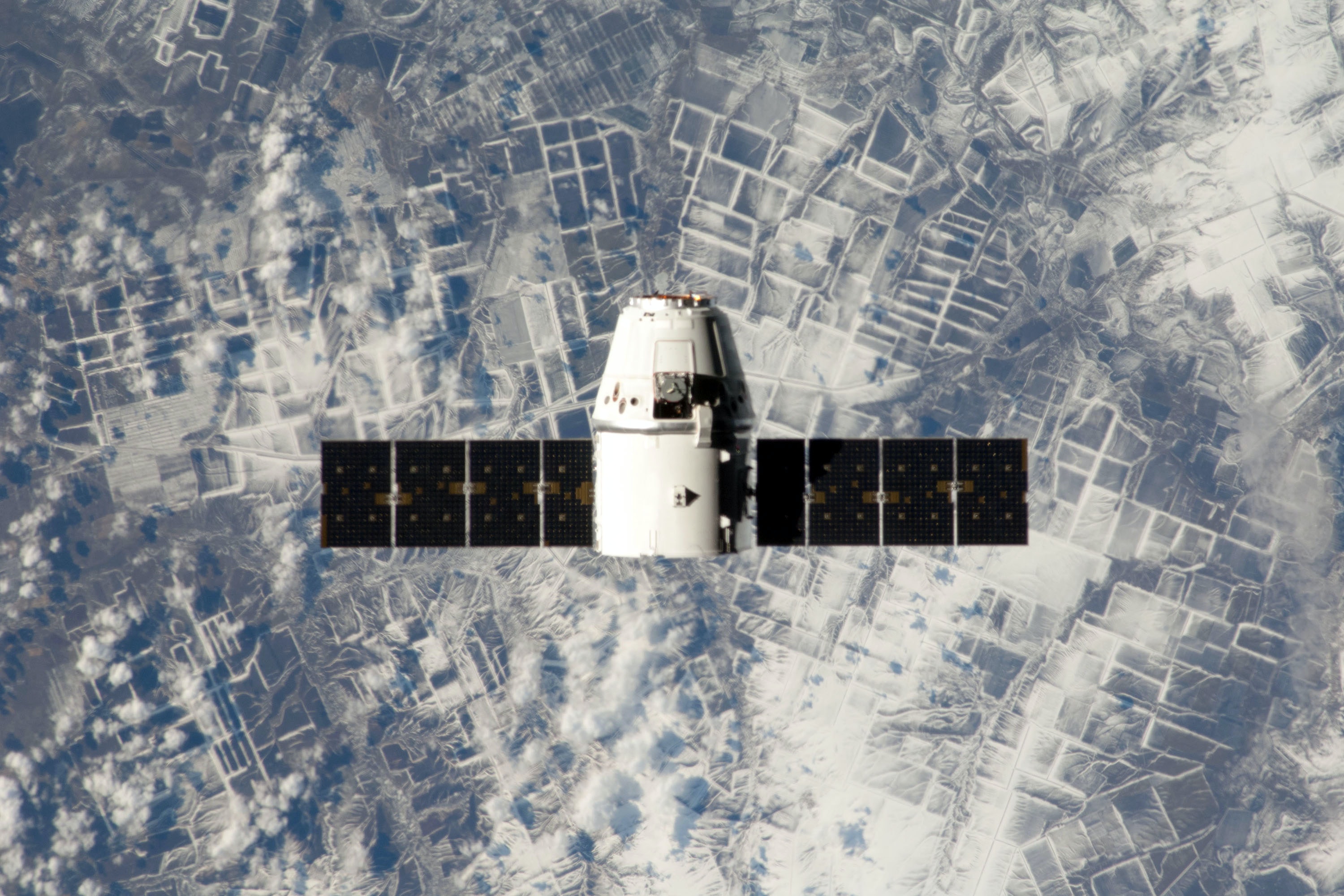
Satellite images are already available, but applications in the leisure and tourism sector are still limited. A pilot study was conducted from the Data & Development Lab (DDL) into the use of freely available open-source satellite images for insights into the leisure economy.
The potential of satellite data
Our partners European Tourism Futures Institute and the Computer Vision & Data Science research group at NHL Stenden University of Applied Sciences have changed this with their pilot research. They have explored:
- what the possibilities and impossibilities are for the leisure and tourism sector
- what the research-technical and methodological challenges are in using open source satellite data for determining print images
- the potential use of satellite images for understanding leisure and tourism
Pioneering with satellite images
Satellite images of cars parked in parking lots were used for the pilot to test whether an algorithm can be seen that can provide large-scale and automated insight into numbers of vehicles. The conclusion is that this is quite possible. With the technique it is potentially possible to perform analyses on all kinds of objects, such as boats and even persons. Everything depends on the quality and availability of the satellite images.
Data & Development Lab
This research is part of the Data & Development Lab (DDL), in which we focus together with CBS and NBTC on the development of data and insights. Within the DDL, parties use both existing and new data sources and techniques. Projects have an experimental character and are always set up around a current theme. Within the DDL projects, the three parties work together, using the power of each party. By bundling knowledge from education (CELTH), the market (NBTC) and the available data (CBS), projects gain more depth without losing sight of the practical applicability.


